Issued April 9 2020 – 11:30 am
FORECAST UPDATE
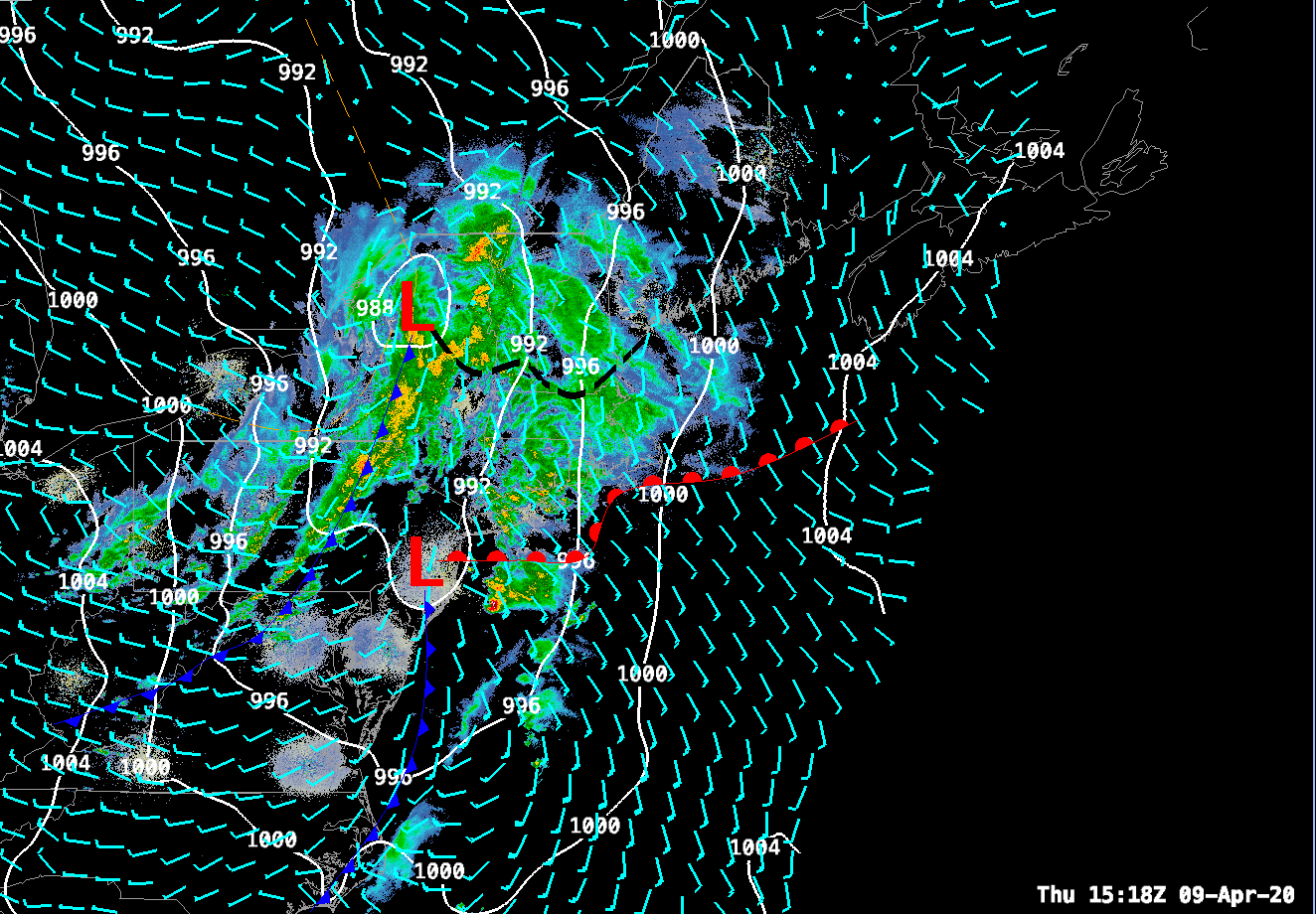
Rainfall has become widespread across much of southern and central New England in response to a complex low pressure system moving through western New York state this morning. A line of heavy showers associated with the cold front is moving through central NY at this hour. A surface trough of low pressure along with a moist SE flow off the Atlantic is generating more showery rain, drizzle and lots of cloudiness over New England. As we move into the afternoon hours the line of heavy showers will progress through New England from west to east. These heavier showers may generate a flash of lighting and a rumble of thunder with the best chances of that happening where MUCAPE values are able to rise above 100 J/kg. I think southern CT and southern RI will be the locations best suited for this to happen. The air mass will be too stable north of there to generate much convective activity at all. The heavier showers will start to impact the western part of the state around 1pm and the Boston area should feel the impacts from the passage of the cold front between 3-4pm.
