Saturday May 2, 2020 9:45 am
….FINALLY! A PHENOMINAL WEEKEND HAS ARRIVED….
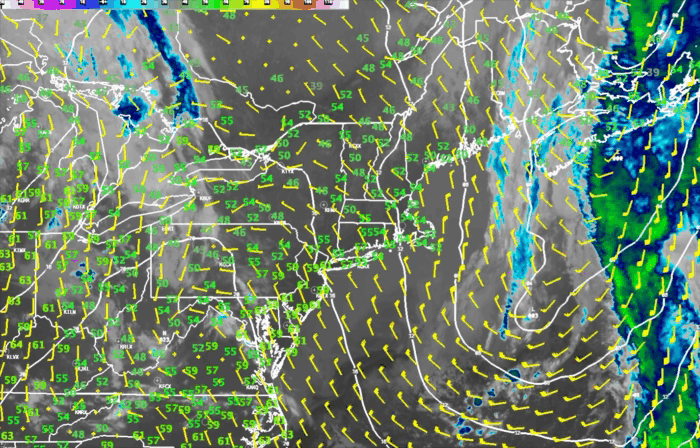
Look out the window this morning and you will find crystal clear skies across all but northern ME. Temperatures in southern New England are in the middle 50’s down to the middle 40’s across central and northern ME.
With abundant sunshine high temperatures will reach 65-70 across RI/MA/CT, 60-65 across southern NH, southern VT and SE ME, 55-60 across northern VT/NH and central maine and around 50 degrees across northern Maine and near 45 up by the ME/Canadian border.
Overnight tonight a warm front will approach and skies will become overcast and there may be a shower or two as the warm front passes through. Unlike past warm fronts this one will not get stuck as it tries to move through Southern New England. Strong westerly winds aloft will help move the warm front along and winds at the surface will flip into the SW by Sunday morning with clearing skies. This turning of the wind into the SW will also allow for a much warmer day on Sunday. I expect to see temperatures reaching or exceeding 70 degrees especially away from the south and east facing coastlines and east of the Worcester hills, and throughout much of NW RI and all of CT. Mid 60’s will be in place for much of central New England and readings will reach the upper 50’s to around 60 for Northern NH/VT. ME unfortunately gets the booby prize on Sunday as the warm front will not quite make it through there. Mid 60’s will be possible in the far southern part of the state but temperatures will fall rapidly across the warm front and from just north of Portland northward expect temperatures in the 40’s to near 50 with cloudy skies and rain likely from Bangor to Caribou.
A dry cold front will pass through by late Sunday/Sunday night and that will make temperatures a little cooler for Monday but it still should be rather nice
