Issued Thursday May 7th @ 6:30 pm
WEATHER SUMMARY:
….IS IT MAY OR MARCH? HARD TO TELL DURING THE NEXT 48 HOURS….
Looking over the weather maps today it is sometimes hard to tell whether we are heading into the middle to late part of Spring or just ending the Winter. Looking at the overall weather situation right now, things aren’t so bad. We have a mainly westerly flow aloft right now and this allowed today to be a fairly nice day. Upper level low pressure is, however, lurking just north of the Great Lakes over southern Canada. During the next 12-24 hours this upper level low will dig toward the southeast into the Lower Great Lakes region.
At the same time, a disturbance riding along the flow in the Northern Plains will dive through the midwest and then into the Ohio Valley by late Friday. These two features will combine to promote the development of an area of low pressure along the NJ coast by Friday night. In turn, this will begin to spread an area of rainfall first along the southern New England coast on Friday night and then expanding to cover all of Southern New England (SNE) during the wee hours of Saturday morning as the low passes south and southeast of New England. It is also interesting to note that as this area of low pressure intensifies it will turn low level winds into the north and allow colder air to drain into SNE.
As we look at the upper level feature working its way through the northeast we see a system that looks more like a Feb/Mar system as opposed to early May. In fact, looking at a value we weather nerds use to help determine the rain/snow line called “thickness” I am seeing thickness values (the mathematical difference between the height of the the 500 mb layer minus the height of the 1000 mb layer.) that you typically see with storms that pass through here during the mid to late winter. The rain/snow line is typically found around 540 dm thickness. During the time period that this storm passes south of New England we will have thickness values between 531 dm and 540 dm. If this were January we would be looking at a moderate sized snowstorm at least. Given that it is May and the sun angle is high severely complicates the forecast even in light of the important meteorological indicators suggesting that snow may occur. The higher sun angle will heat the air sufficiently on Friday that the storm will have a warm pre-storm environment to contend with.
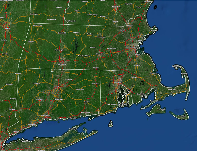
As the storm intensifies offshore it will tend to draw colder air in. The vertical motion generated by the intensifying storm can also dynamically cool the atmosphere and help drop the temperatures toward freezing at all levels. What all this means is, we could see snowfall somewhere in New England Friday Night into early Saturday morning. Where that rain/snow line sets up is the big question. My feeling is that within the immediate Boston area, let’s say inside of 128, temperatures will manage to remain above freezing and substantial accumulating snow will not be likely. In the SW suburbs of Boston, into the RI hills and then into Worcester county there could be some mixing of the rain with snow as colder air leaks into those regions. In Western MA and northern Worcester county I feel there could be accumulating snow due to the fact that these are higher elevation areas which should have temperatures low enough to allow for a change over for a period of time during the pre-dawn hours of Saturday. Much of this will also depend on the exact intensity and track of the low pressure area. If the storm becomes stronger than expected the dynamic cooling effects could allow accumulating snow to come further toward the east and south. Same if the track of the storm is further to the SE.
I am reluctant to issue any snowfall accumulations just yet. I want to see another model run before I do that. Again, any accumulations will be to the north and west unless the storm does something unexpected.
Once this storm passes on by temperatures will be below normal into next week as we are stuck in a cool rut. I think toward the end of next week we should start breaking that pattern and warm up a bit. Patience…..spring is coming.
DETAILED FORECAST:
TONIGHT/OVERNIGHT: Cloudy risk of showers then clearing out overnight Winds becoming SSW and then shifting into the W overnight 10-15 mph. Low temperatures 30-35 western MA and CT. 35-40 E MA and RI. 40-45 over the Cape and Islands.
FRIDAY: Mostly sunny through the morning hours. Clouds increasing by afternoon across CT/RI and SE Mass and by evening through the rest of southern New England. Winds WSW 10-20 mph with higher gusts. Highs 55-60.
FRIDAY NIGHT:Cloudy with rain developing over the south coast of New England from the NY/CT border to Chatham, MA during the early evening. Rain spreading northward into the Boston area after midnight. Rain possibly mixing with or changing to snow especially west and north of 495/90. Winds NE to N 15-25 mph with higher gusts. Highest winds and gusts at the coast. Low temperatures near 40 in the city. 32-37 north and west.
SATURDAY: Snow/Rain tapering off and ending by afternoon. Winds NW 15-20 with higher gusts. High temperatures 45-52.
SATURDAY NIGHT: Clearing skies especially after midnight. Winds W 10-20 mph. Low temperatures 30-35 outside the city, near 40 in Boston.
SUNDAY: Partly Sunny. Winds W 10-15 mph. High Temperatures 60-65.
SUNDAY NIGHT: Partly cloudy. W-SW winds 5-10 mph. Low temperatures 40-45.
MONDAY: Rain. High temperatures near 60.
TUESDAY: Becoming mostly sunny. High temperature 58-63.
WEDNESDAY: Partly to mostly sunny. High temperature 60-65.
