***NEW FEATURE! You can get these forecasts and blog entries delivered directly to your e-mail. Click the button at the bottom of this post to subscribe!***
Issued Friday May 22 2020 12:45 am
WEATHER SUMMARY:
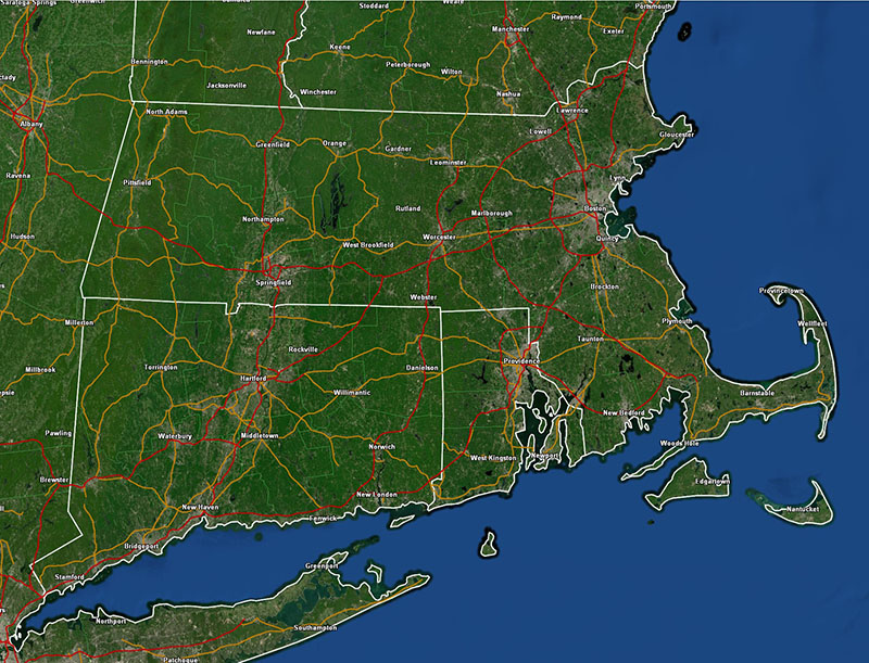
This forecast is being issued as an update to Thursday’s forecast to tweak temperatures for tomorrow. I am bumping up high temperatures considering that highs today got into the mid and upper 70’s even into the city of Boston. Looks like Friday is going to be a rather summer like day with a brisk SW breeze and highs in the low 80’s across much of the area and all the way to the coast line, except for the west facing coast of Buzzard’s Bay and the upper portion of Cape Cod where temperatures will hold in the 65-70 degree range and 60-65 mid cape and 55-60 on the outer Cape.
DETAILED FORECAST:
OVERNIGHT: Mostly clear. Winds SW 5-10 mph. Lows 45-50.
FRIDAY: Mostly Sunny. Winds SW 5-10 mph with higher gusts up to 20 mph. Higher winds on the Cape and Islands. Highs 80-85 throughout much of MA except cooler at all south and southwest facing coastline areas.
FRIDAY NIGHT/OVERNIGHT: Increasing clouds. Showers developing over W MA/CT/RI after midnight. Winds Calm. Lows 55-60.
SATURDAY: Cloudy with showers especially to the south of the Mass Pike. Winds becoming E 10-15 with gusts up to 25 mph. Highest winds in E MA/E CT/RI. Highs around 65 inside 128 by late morning then temperatures will fall into the upper 50’s. 55-60 on Cape Cod, west of 128, through RI and CT afternoon highs will be 65-70 and west of Worcester but east of the Berks and north of the Pike temperatures will rise to near 75.
SATURDAY NIGHT/OVERNIGHT: Becoming mostly clear. Winds NE 5-15 mph. Lows 43-50.
SUNDAY: Mostly Sunny. Highs 50’s over the cape, low 60’s near Boston, 65-70 western MA and CT.
MONDAY: Mostly Sunny. Highs 70-75 except cooler at the coasts.
TUESDAY: Partly Sunny. Highs 72-77, cooler coast.
