Forecast Issued: Monday, December 16, 2024 8:45 pm

Overnight (12/16): Mostly Cloudy with the risk of a shower or two early and then light rain develops overnight. Temperatures holding steady or rising through the 40’s especially overnight and toward sunrise. Winds increasing to SE 10-15 mph in western sections with higher gusts in the hilly terrain of Worcester County and northern CT overnight. Becoming more brisk out of the southeast over eastern and SE sections of MA especially over Cape Cod and the islands 10-20 mph mph gusting to 25-35 mph especially along the coast.
Tuesday Morning (12/17): Light rain through the early morning hours which should end shortly after sunrise. Temperatures in the upper 40’s to low 50’s. Winds turning S-SW to SW 10-20 mph gusting to 20-35 mph especially along the coast.
Tuesday Afternoon (12/17): Clearing skies developing from west to east across the area. High temperatures 55-60 with the warmest readings in central CT. Winds SW to W diminishing to 5-15 mph gusting to 20-25 mph.
Tuesday Night: Mostly clear with temperatures dropping off into the low to mid 40’s over eastern portions of MA and RI, upper 30’s to lower 40’s west and north. Winds W 5-10 mph.
Wednesday (12/18): Filtered sunshine early giving way to thickening and lowering clouds by afternoon. Overcast by evening with rain developing and continuing overnight. Wednesday morning low temperature 30-35 near the cities, 25-30 in the suburbs. High temperatures 45-50.
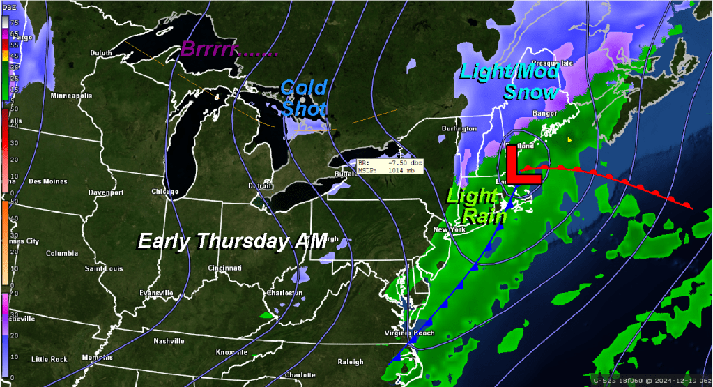
Thursday (12/19): Light rain perhaps mixing with a little snow, especially west and north first thing in the morning, then becoming mostly sunny, blustery, and cold. High temperatures near 32 degrees.