Forecast Issued: December 19, 2024 @ 2:00am
Detailed Forecast:
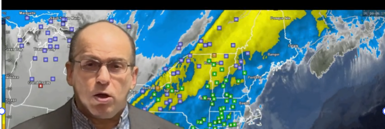
Overnight: Rain occasionally moderate at times with the heaviest amounts of rain across SE MA, RI and SE CT. Winds Light and Variable becoming W-NW 10-15 mph G 20-25 mph Temperatures 35-40 in far western areas of MA/CT and Southern VT/NH, 40-45 in and around the metro Boston area and 45-50 SE MA/RI and Cape Cod.
Thursday Morning: Rain ending before sunrise and then becoming mostly clear after sunrise. NW winds 10-15 mph gusting to 20-25 mph, winds a bit higher over the Cape. Morning temperatures holding steady in the upper 30’s to mid 40’s early then dropping into the afternoon.
Thursday afternoon: Mostly sunny early afternoon but becoming partly cloudy toward sunset. NW winds diminishing to 5-10 mph most areas except Cape Cod where winds will hold up to around 10-20 mph gusting to 25-30 mph. Temperatures settle back to 30-35 in the west, 35-40 central MA/CT and RI, 40-45 Metro Boston to the Cape.
Thursday Evening/Overnight: Clear and cold for the most part but a high overcast may develop toward SE MA and the Cape. Temperatures falling to 30-35 degrees generally. Morning low temperatures will settle to around 25-30 degrees west to east.
Friday: Starting off bright but clouds quickly move in by afternoon. Mostly cloudy with the risk of evening/nighttime snow showers. Highs temperatures will be 35-45 in eastern MA, Cape Cod and RI. 25-35 out over central and western areas of MA/CT, S VT, S NH.
Saturday: Cloudy with the chance of light snow mainly over Cape Cod and the islands up to a Boston/Providence line. 1-3″ possible over far SE MA and the Cape, less than one inch Metro Boston to Metro Providence. Some snow squalls and light snow might also bring up to 2-4″ across southern VT and a coating of snow into the Berkshires. High temperatures 30-35 with a few spot temperatures higher over Cape Cod.
