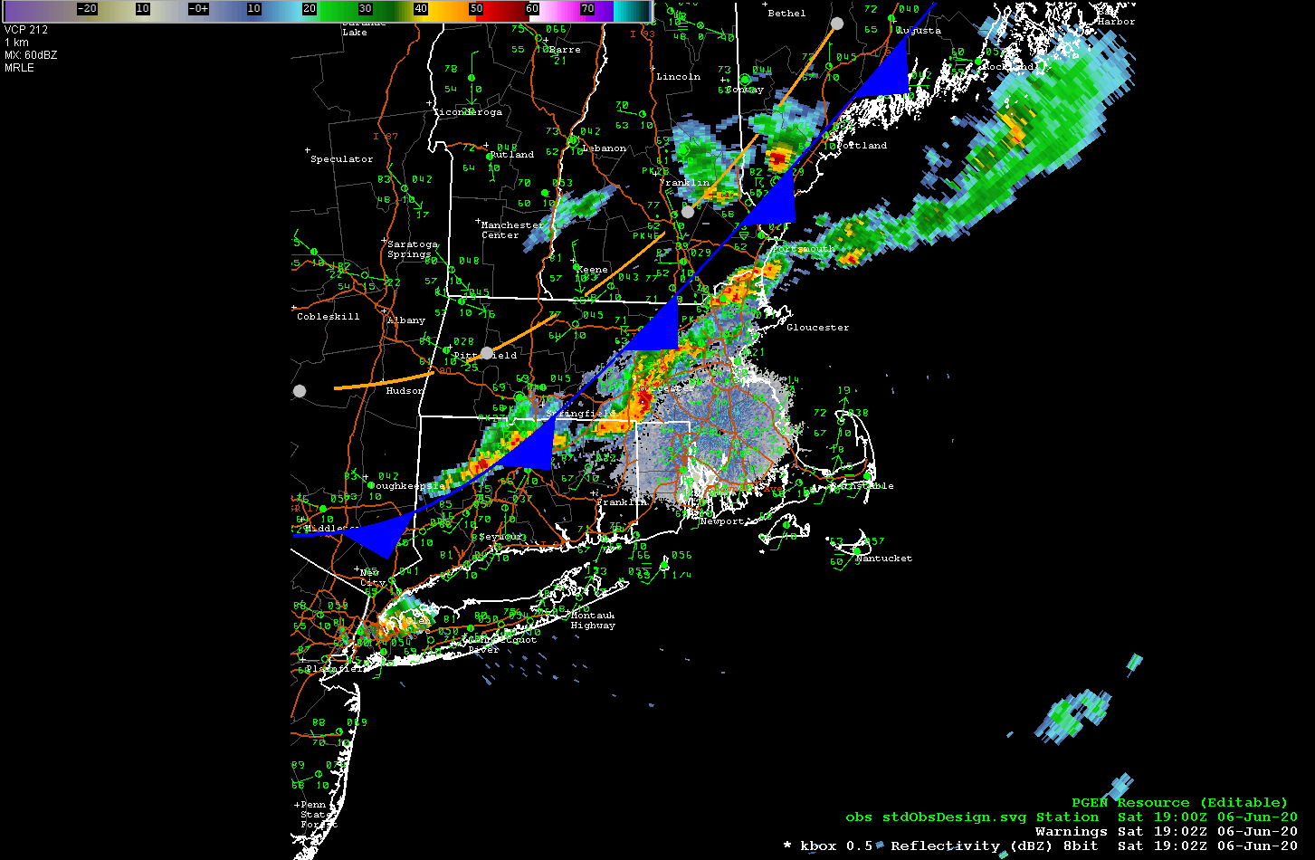
…COLD FRONT SLICING THROUGH SNE NOW, THUNDERSTORMS BLOSSOMING IN E MA…
A cold front is currently moving through central MA and NW CT and will push through all of Southern New England by this evening. There is a line of showers and thunderstorms developing in advance of the cold front and these storms are currently moving through the Uxbridge and Milford areas. There are also heavy showers and thunderstorms passing through the Framingham/Sudbury area. This line of storms look like they will move into the Newton, Norwood, Medfield area and then on to a Brockton to Weymouth line by around 4:00 pm.
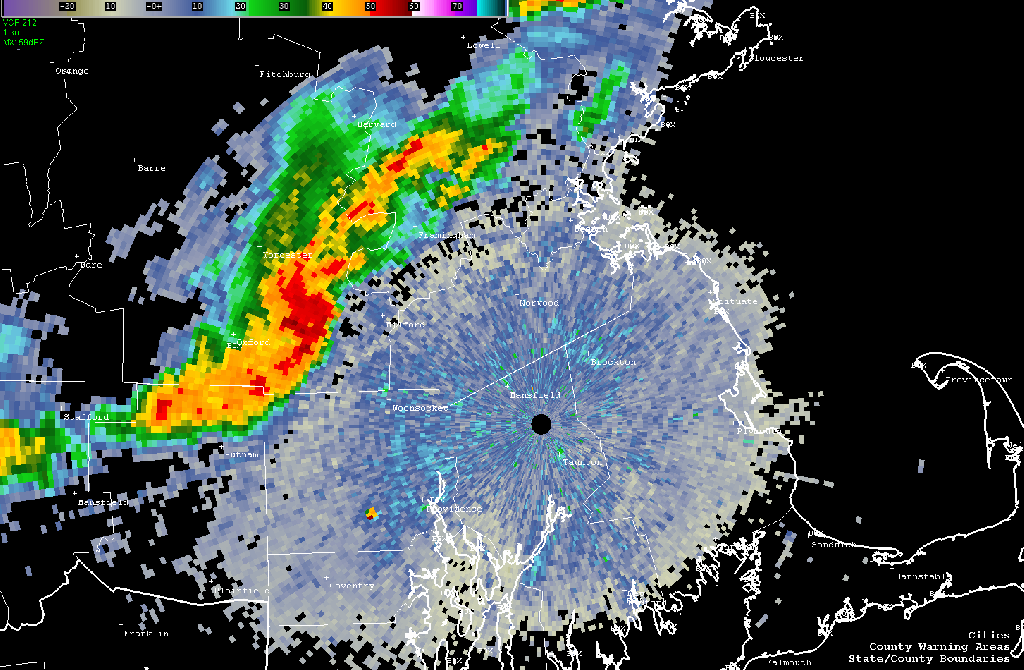
This line of storms contains severe weather and the National Weather Service has issued a severe thunderstorm warning for much of the South Shore including Brockton, Stoughton, Easton, Mansfield, Attleborough, Bridgewater, Pembroke and Marshfield until 430pm EDT.
